
Not reported
Admission and fee information is not reported in the data LocalFactBook retains for this site. Check the official page before you go.
Admission details →Mattamuskeet National Wildlife Refuge is a federal recreation site in North Carolina, managed by the U.S. Fish and Wildlife Service.
Things to do listed by its source include Auto Touring, Boating and Interpretive Programs.
Admission · Veterans and military · Things to do · Official page
Admission and fee information is not reported in the data LocalFactBook retains for this site. Check the official page before you go.
Admission details →The pass waives entrance fees at U.S. Fish and Wildlife Service sites.
Veterans details →Auto Touring, Boating and Interpretive Programs
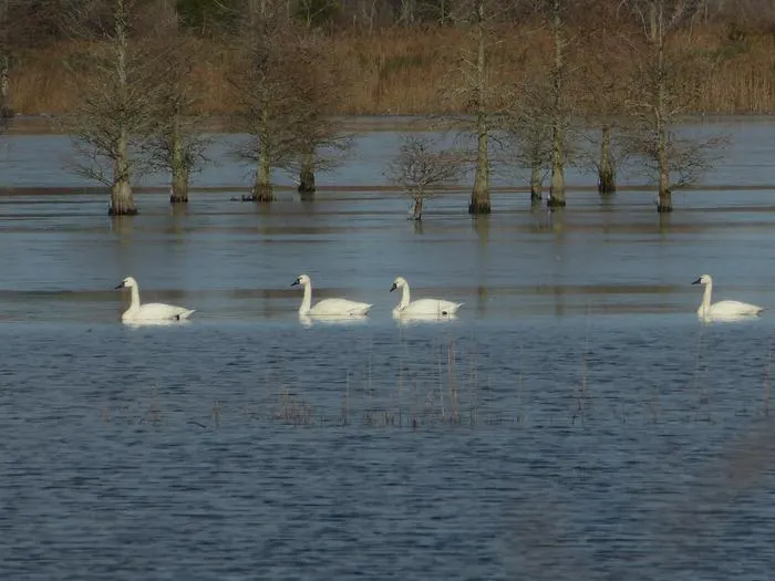
What to do →In the early 20th century, farmers and developers attempted to drain Lake Mattamuskeet, building what was at the time the world’s largest pumping plant. The lake was drained several times to convert the lake bottom to farmland. Eventually, the effort was abandoned as impractical and too expensive. Mattamuskeet National Wildlife Refuge, located on the Albemarle-Pamlico Peninsula in Hyde County, North Carolina, was established in 1934. The refuge consists of 50,180 acres of open water, marsh, timber, and croplands. The refuge’s main feature is the shallow 40,000 acre Lake Mattamuskeet, the largest natural lake in North Carolina. Lake Mattamuskeet, dotted with bald cypress trees, is 14 miles long and 5 miles wide and varies in depth from 0.5 to 4 feet, with an average depth of 1.5 feet. Dense beds of submerged aquatic vegetation desired by swan, diving ducks, and some puddle ducks are produced naturally. The lake level fluctuates with rainfall, wind tides, and evapo-transpiration. A system of 15 man-made wetland impoundments, totaling nearly 2,505 acres, surround the south and east sides of the lake, providing feeding and resting areas for many species of migratory birds as well as resident wildlife. A farming area contributes another 125 acres of cropland and 275 acres of grassland to the diversity of habitat types on the refuge. Refuge forests consist of approximately 1,000 acres of loblolly pine, including the 153-acre Salyer’s Ridge Natural Area, and 2,000 acres of mixed hardwoods and bald cypress. These woodlands occur in narrow strips along the refuge boundary between the marsh and higher private lands. The refuge’s strategic location along the Atlantic Flyway makes it a vitally important stopover for wintering waterfowl. Over the past 35 years, up to 80 percent of the northern pintail and up to 30 percent of green-winged teal that annually migrate along the Flyway utilize Mattamuskeet NWR. In total, the refuge attracts more than 200,000 ducks, geese and swans from November through February. About 58,000 visitors use the refuge annually to hunt, fish, and observe and photograph wildlife.
Admission and fee information is not reported in the data LocalFactBook retains for this site. Check the official page before you go.
Source: Recreation.gov, retrieved 2026-11-19. Fees change; confirm on the official page.
Current military and dependents get the Military Annual Pass; veterans and Gold Star families get the Military Lifetime Pass. Both are free.
Veterans, Gold Star families and current military can get a free Military Pass from the federal recreation pass program. The pass waives entrance fees at U.S. Fish and Wildlife Service sites.
Camping, tours, special recreation permits, reservation fees, fees for organized groups and concession-operated facilities or activities are not covered.
The pass covers fees at federal recreation lands. State parks are run by the states, which set their own fees and discounts; those rules are separate, individually cited facts. Full rules, ID needed and how to get the pass. Sources: the National Park Service and Department of Veterans Affairs pass pages, retrieved 2026-11-19.
Activities in the order Recreation.gov lists them for this area. This is not a ranking.
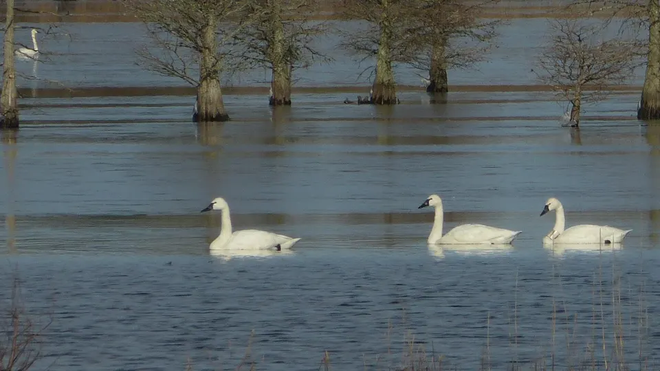
Photos are public-domain images credited to the agency that took them; LocalFactBook serves resized copies. Original sources are listed with each image's credit on the agency's site.
Open the place profile for population, income and housing.
Open the place profile for population, income and housing.
Open the place profile for population, income and housing.
Open the place profile for population, income and housing.
Open the place profile for population, income and housing.
Straight-line distance from the park's coordinates to each place's center, not driving distance.
All federal parks in North Carolina · Parks in North Carolina · North Carolina