
No entrance fee
The National Park Service lists no entrance fee for this site.
Admission details →Buffalo National River is a National River in Arkansas, managed by the National Park Service.
Recreation.gov lists 11 campgrounds and 1 visitor center here.
The National Park Service lists no entrance fee.
Things to do listed by its source include Hike to Hemmed-in Hollow, Paddling Gilbert to South Maumee and Hike the Lost Valley Trail.
Admission · Veterans and military · Things to do · Official page
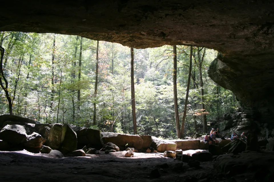
The National Park Service lists no entrance fee for this site.
Admission details →No entrance fee is listed for this site, so there is nothing for the pass to waive here.
Veterans details →Hike to Hemmed-in Hollow, Paddling Gilbert to South Maumee and Hike the Lost Valley Trail
What to do →Established in 1972, Buffalo National River flows freely for 135 miles and is one of the few remaining undammed rivers in the lower 48 states. Once you arrive, prepare to journey from running rapids to quiet pools while surrounded by massive bluffs as you cruise through the Ozark Mountains down to the White River.
The National Park Service lists no entrance fee for this site.
Source: National Park Service, retrieved 2026-11-19. Fees change; confirm on the official page.
Current military and dependents get the Military Annual Pass; veterans and Gold Star families get the Military Lifetime Pass. Both are free.
No entrance fee is listed for this site, so there is nothing for the pass to waive here.
Camping, tours, special recreation permits, reservation fees, fees for organized groups and concession-operated facilities or activities are not covered.
The pass covers fees at federal recreation lands. State parks are run by the states, which set their own fees and discounts; those rules are separate, individually cited facts. Full rules, ID needed and how to get the pass. Sources: the National Park Service and Department of Veterans Affairs pass pages, retrieved 2026-11-19.
The picturesque Hemmed-in Hollow Falls cascades nearly 210 feet over rugged Ozark bluffs, making it the highest waterfall between the Rockies and the Appalachians. This waterfall only flows after a considerable amount…
This reach is about 12 miles which makes it one of the less crowded sections of the river.
The Lost Valley Trail is an easy to moderate hike through a box canyon sculpted by Clark Creek. At 2.4 miles round-trip, this trail features caves, waterfalls, a Native American bluff shelter, and breathtaking groves of…
The Hideout Hollow Trail leads to a rock shelter that was once inhabited by a group of World War I draft dodgers called The Slacker Gang. The Slacker Gang was made up of 9 young men from the Cecil Cove area who refused…
The Centerpoint Trail is a strenuous hike that traverses the Ponca Wilderness, winding down an old wagon road descending nearly 1,300 ft. to the Buffalo River. The "Goat Trail" spurs off of Centerpoint and leads to…
Five ways to spend a visit, in the order the National Park Service lists them on its official things-to-do pages. This is not a ranking.
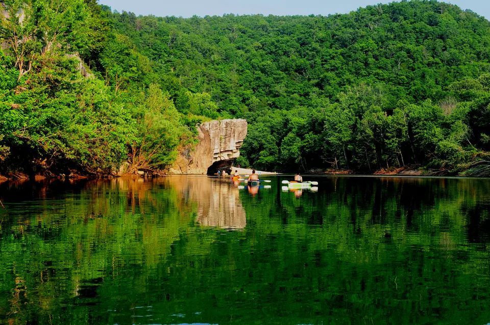
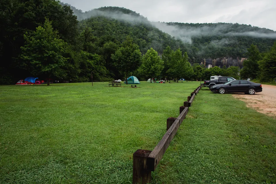
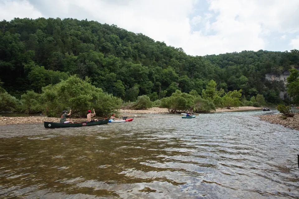
Photos are public-domain images credited to the agency that took them; LocalFactBook serves resized copies. Original sources are listed with each image's credit on the agency's site.
Counted by the National Park Service for the 2025 calendar year.
283,212 recreation visits in July 2025.
23,284 recreation visits in January 2025.
| Year | Recreation visits |
|---|---|
| 2025 | 1,393,246 |
| 2024 | 1,686,348 |
| 2023 | 1,549,467 |
| 2022 | 1,306,932 |
| 2021 | 1,515,874 |
| 2020 | 1,478,846 |
| 2019 | 1,326,282 |
| 2018 | 1,240,119 |
| 2017 | 1,471,330 |
| 2016 | 1,785,359 |
Source: NPS Visitor Use Statistics, retrieved 2026-11-19. Only complete calendar years are shown. Counting procedures differ by park, so compare a park with itself over time rather than with other parks.
Open the place profile for population, income and housing.
Open the place profile for population, income and housing.
Open the place profile for population, income and housing.
Open the place profile for population, income and housing.
Open the place profile for population, income and housing.
Straight-line distance from the park's coordinates to each place's center, not driving distance.
All federal parks in Arkansas · Parks in Arkansas · Arkansas